

/Task%20Automation.png?width=90&name=Task%20Automation.png)


Detecting critically endangered whales,
from space
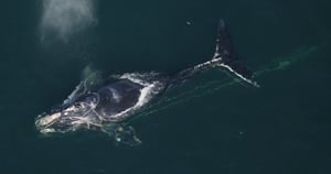
Fewer than 370 North Atlantic Right Whales remain on earth. AltaML and Hatfield Consultants built an AI-powered detection
system that identifies them from satellite imagery — giving researchers and regulators a scalable way to monitor the species across
Canadian waters, all without the use of aerial surveys.
/diversity.png?width=60&name=diversity.png)
CLIENT
Canadian Space Agency, in consortium with Hatfield Consultants, Fisheries and Oceans Canada, and Transport Canada
/ESG.png?width=60&name=ESG.png)
PROJECT
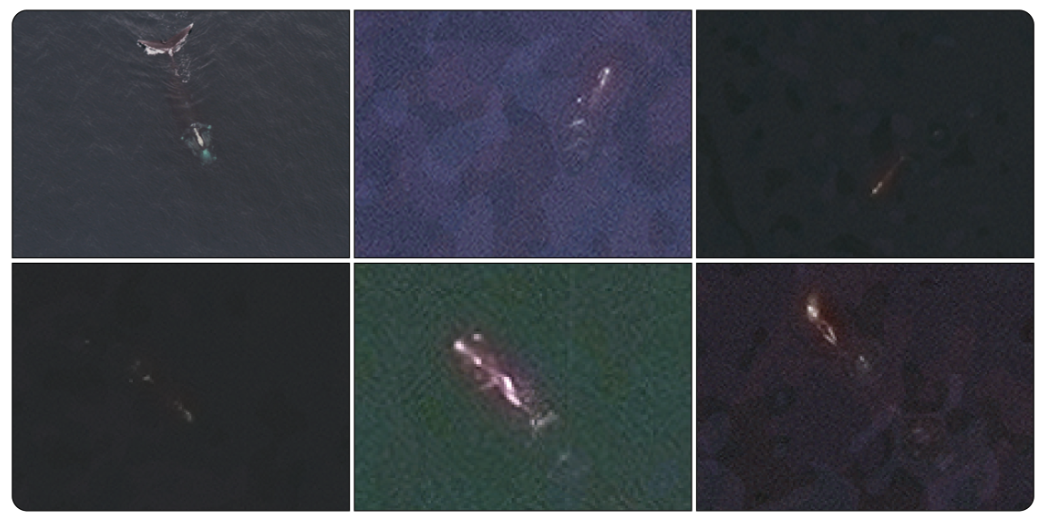
AI-powered Space-Based Detection System (SBDS) to detect and monitor North Atlantic Right Whales in Canadian waters using very high-resolution satellite imagery
/deep-learning.png?width=60&name=deep-learning.png)
WHAT WE DID
Convolutional neural network development, largest-ever NARW satellite imagery dataset compilation, training data augmentation, end-to-end semi-automated whale detection
/rocket.png?width=60&name=rocket.png)
IMPACT
75% whale detection recall from satellite imagery, peer-reviewed validation, and a validated path to operational deployment
/anchor%20(white).png?width=45&name=anchor%20(white).png) 75% whale detection recall from satellite imagery
with the largest satellite imagery dataset of NARWs ever compiled, providing a foundation for continued model development and future operational deployment.
75% whale detection recall from satellite imagery
with the largest satellite imagery dataset of NARWs ever compiled, providing a foundation for continued model development and future operational deployment.
/book-open.png?width=45&name=book-open.png) Peer-reviewed publication in Marine Mammal Science
representing the first scientific validation of a satellite-based AI detection system for North Atlantic Right Whales at this scale.
Peer-reviewed publication in Marine Mammal Science
representing the first scientific validation of a satellite-based AI detection system for North Atlantic Right Whales at this scale.
/git-branch%20(white).png?width=45&name=git-branch%20(white).png) Establishing the basis for GenWhales
Establishing the basis for GenWhales
a follow-on project developing synthetic satellite imagery to expand training data, reduce data acquisition costs, and further improve species identification accuracy.
"The North Atlantic right whale is endangered and we must take every step possible to save them. The smartWhales initiative is investing in innovative companies and projects that will enhance our ability to detect and monitor these whales, helping protect them against vessel collisions and fishing gear entanglements in our waters. By working together, we can drive growth in our ocean economy while setting these whales on a path to recovery."

The Honourable François-Philippe ChampagneMinister of Innovation, Science and Industry (2021–2025)