-
What We Do
-
AI NavigatorGain clear direction and momentum as your chart your organization’s AI path.
-
AI FoundationsEstablish the essential skills, systems, and mindset to support sustainable AI adoption.
-
Agentic AI LabExplore, prototype, and refine agent-driven solutions to accelerate real-world impact.
-
GovLabAdvance government innovation with practice AI solutions tailored to unique public sector needs.
-
-
Featured
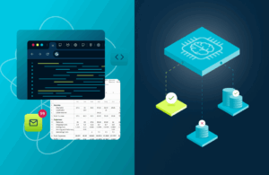 The AI Agent Advantage: Understanding Your Digital Workforce
-
Some Industries We Support
-
Featured
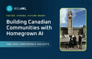 Building Canadian Communities with Homegrown AI
